GIS-ArcMap Pro Licence
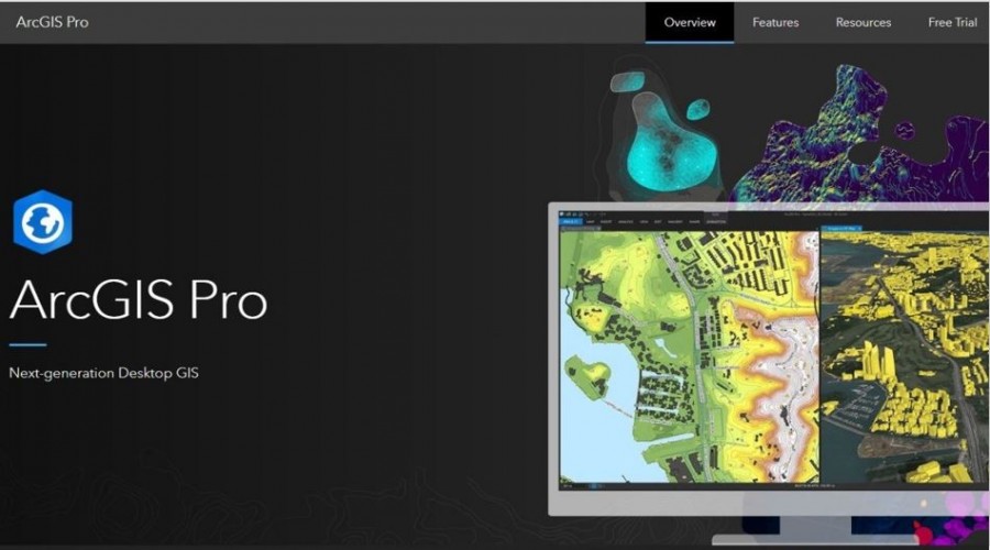
ArcGIS Pro is Esri’s powerful, single desktop GIS application. Technologically ahead of everything else on the market, ArcGIS Pro supports data visualization, advanced analysis, and authoritative data maintenance in 2D, 3D, and 4D. ArcGIS Pro supports data sharing across a suite of ArcGIS products such as ArcGIS Online and ArcGIS Enterprise through Web GIS. Discover a full spectrum of tools and capabilities within ArcGIS Pro today.
ASIACOM became a autorized dealer of ESRI in Cambodia, and distribute ESRI products with local cambodian public and private sector
Transform data into maps and actionable information
Combine multiple data sources to make maps that are as smart as they are beautiful. Use scientific analytical tools on 2D, 3D, and 4D data to identify patterns, make predictions, and answer questions. Quickly share projects and information within your organization, online, and through mobile apps.
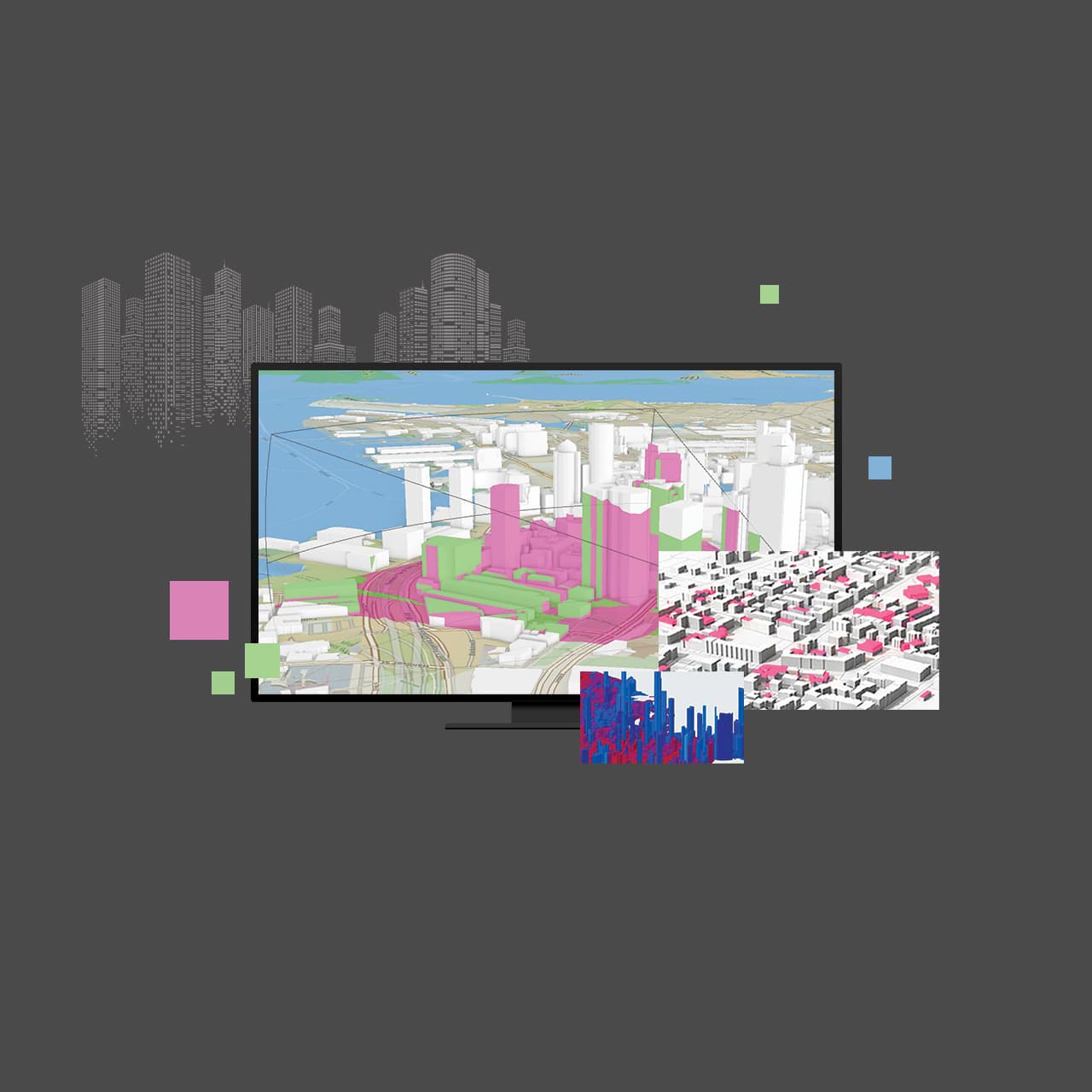
Exploration and Visualization
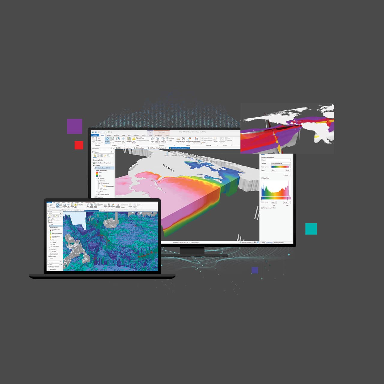
Using 3D exploratory analysis, investigate your data by interactively creating graphics and editing analysis parameters on-the-fly. Interactive tools help you to create analytical objects by clicking on the scene or using input source layers. Manipulate analysis parameters and receive real-time visual feedback.
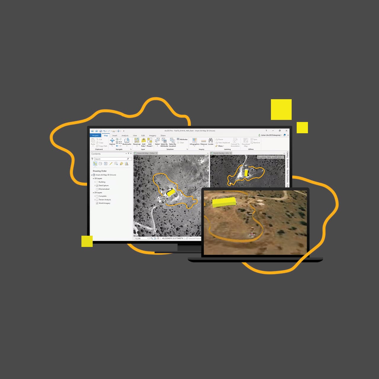
Data Management
Ensure data integrity with a complete set of tools for storing, editing, and managing various forms of spatial data—including big and real-time data.
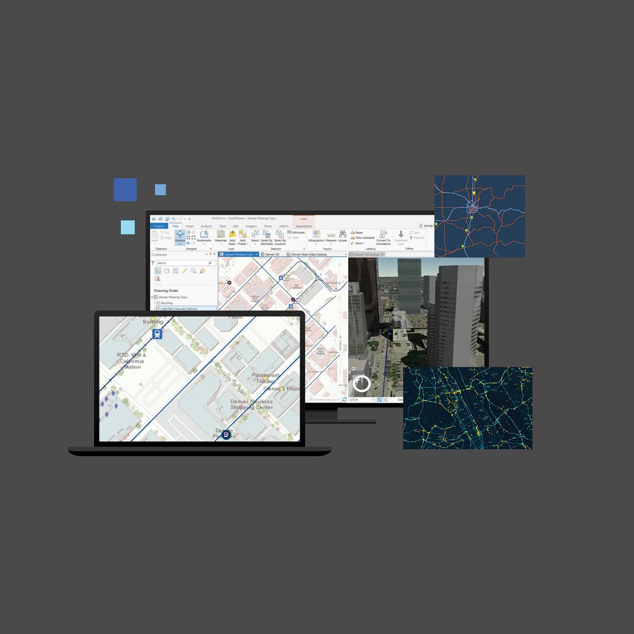
Customize and Create
Reimagine ArcGIS Pro with add-ins and configurations developed with the ArcGIS Pro SDK for .NET. Create, customize, and perfect your ideal ArcGIS Pro environment.
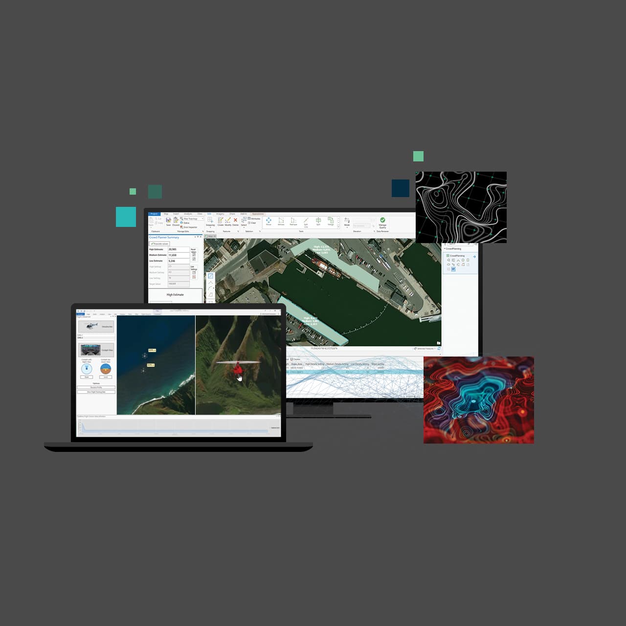
Cartography and Design
Easily and accurately add your customized data to meet today's cartographic and design standards. Compile your data with just a few clicks and bring your projects into Adobe Illustrator with the new AIX export capability. ArcGIS Pro’s deep symbology tools, performant rendering, and vast support of geospatial formats merges the domains of analysis and presentation. Take your projects further and tell the story you’ve always envisioned.
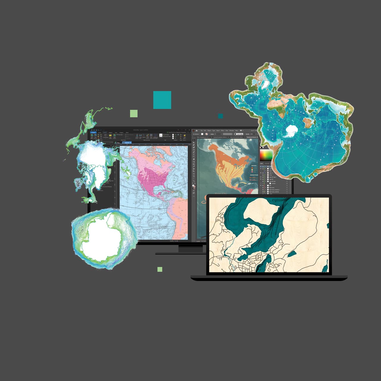
Analytics and Data Science
Understand the world around you. Use scientific analytical tools on 2D, 3D, and 4D data to identify patterns, make predictions, and answer questions.
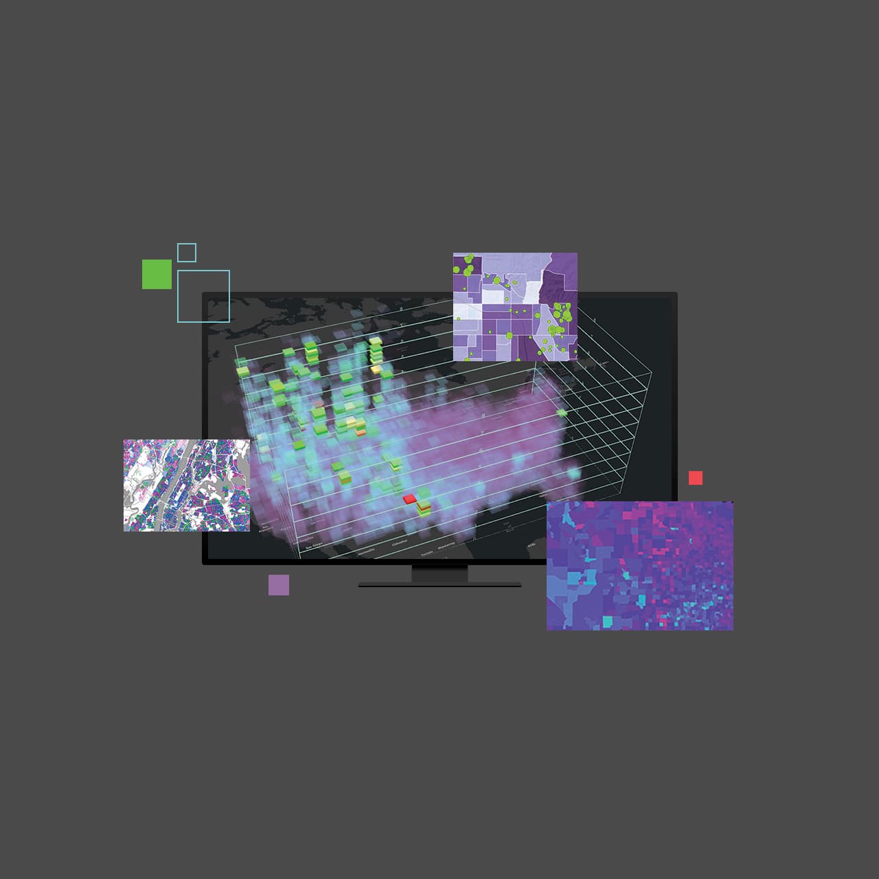
Share Your Work
Quickly author and discover content and web maps all within ArcGIS Pro. Discover created work from within your organization or worldwide from the ArcGIS user community. Seamlessly access Living Atlas content and share your work throughout the Geospatial Cloud.
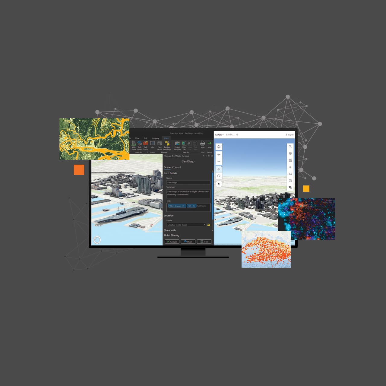
Launch New Capabilities
Discover Voxel layers, a 3D volumetric layer to visually analyze and explore your complex multidimensional data. Manage your 3D and 4D parcel data, run analysis with Trace networks, Python Notebooks, Geodatabase replication workflows and so much more. Add your work from ArcGIS Pro to Adobe Illustrator to finalize your design project
Customize and Create
Reimagine ArcGIS Pro with add-ins and configurations developed with the ArcGIS Pro SDK for .NET. Create, customize, and perfect your ideal ArcGIS Pro environment.

Repearing & Calibration (Total Station, Theodolite, Auto Level) Service
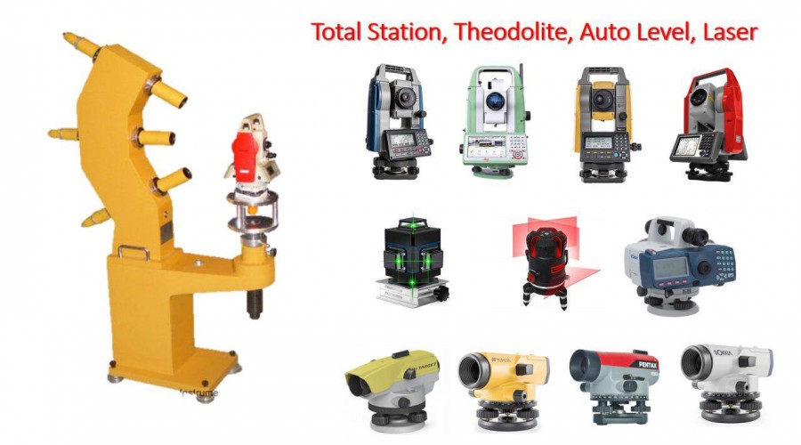
We offer qualify superior pre-sale service to help you choose the right goods, highclass after service to ravel out your concerns,and life long technical support.
Read More...RepeaterRadio & Communication System Service
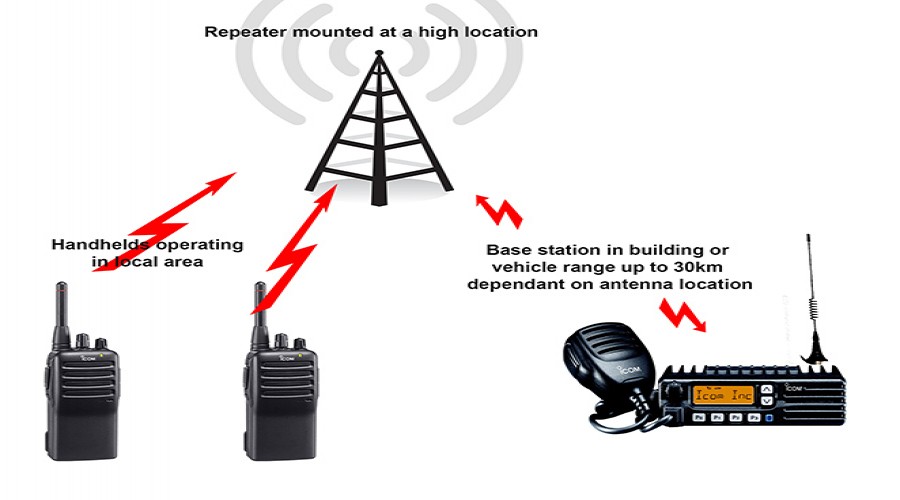
If you are an individual, or a member of an organisation, that already uses radios but wants to get more out of them,
Read More...Solar Panel Installation Service

ក្នុងនាមជាក្រុមហ៊ុនដែលមានការទទួលខុសត្រូវខ្ពស់ យកចិត្តទុកដាក់ខ្ពស់ក្នុងការបម្រើសេវាក្រោយពេលលក់ ដែលជាចំណែកដ៏សំខាន់មួយជួយអោយមាននិរន្តរភាព
Read More...Land Surveying Service
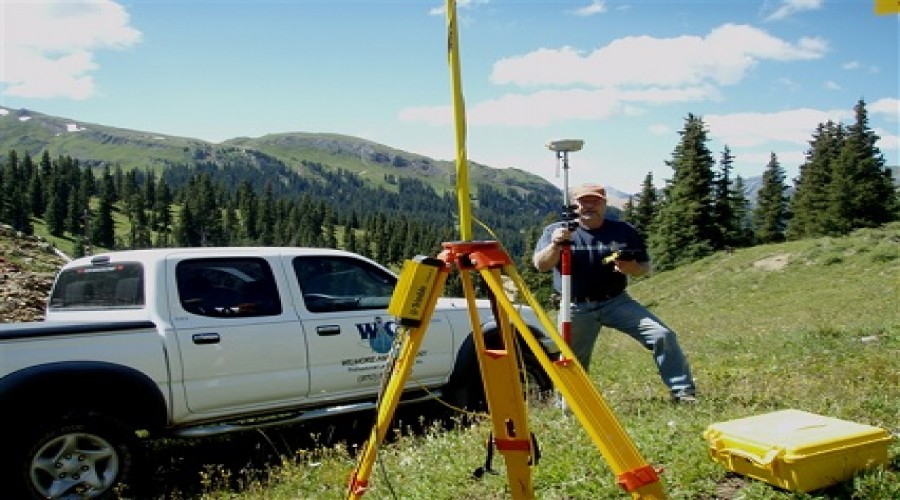
A surveyor using a total station Surveying or land surveying is the technique, profession, and science of determining the terrestrial ...
Read More...
